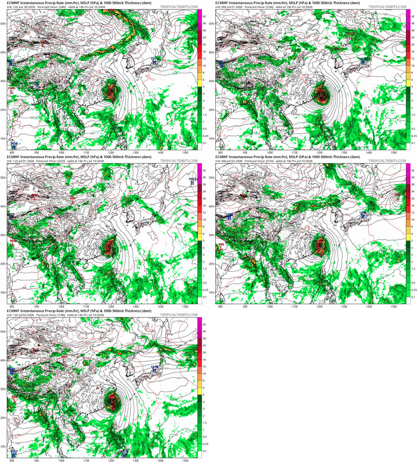
Typhoon Bavi Tracks
I started to pay attention to former 95W, now Bavi, about 5 days ago. People have been talking about how strong the storm is going to get. ECMWF is now giving 909 hPa in about 6 days (F141). Bavi is currently Cat 2 (strong TS) with 980 hPa and is set to rapid intensify really within one day.
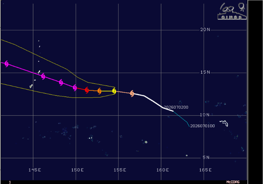
I am more interested in, however, the track forecast. Starting with the google deepmind 1000-ensemble forecast performance. Below are the FNV3 forecast on June 29, July 1, and July 3.
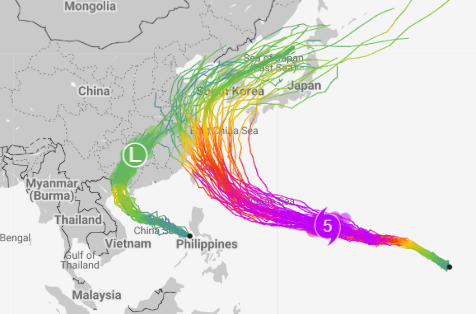
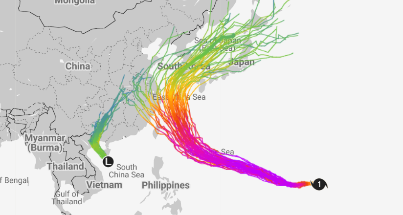
FNV3 shifted its forecast westward on July 1st, then nudged it slightly back to the east today, making it less likely to hit Shanghai.
The traditional NWP, GFS and ECMWF, give a total different track forecast. Both GFS and EC have the track much southwestward. Bavi is forecasted to first hit Taiwan, then make landfall near Fujian, move further inland, before it curves back and exit China through Shandong.
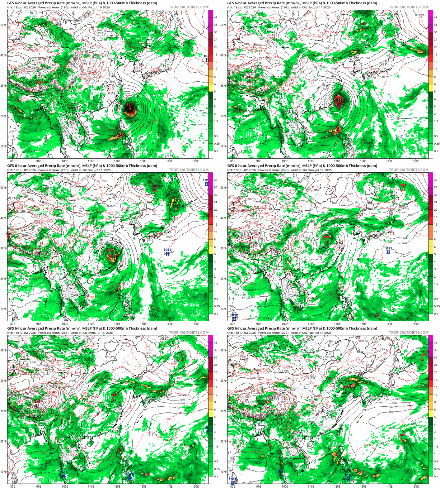
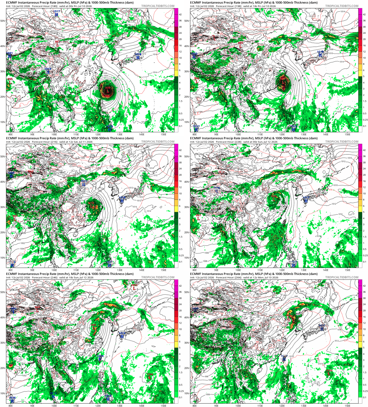
Both models have pretty stable forecast for landfall now in the past several run, looking at landfalling in Fujian.