Typhoon Bavi Tracks
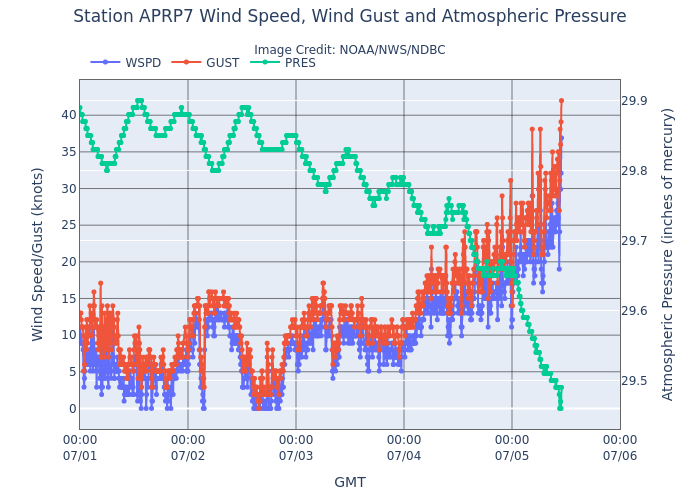
Bavi is now located to the East of Guam, under the radar coverage of PGUA. Hope there will be buoys around to provide accurate measurement of surface pressure. Per CIMSS’s ADT, maximum sustained wind reached 145 kts on July 4 0z. Bavi then accomplished an eyewall replacement cycle, when the maximum wind dropped to about 120 kts. Bavi is on its way to regain its power. I do wonder if there is going to be a second ERC for Bavi in the next day or two. The buoy station near Guam shows the surface wind currently to be 34 kts.

After 2 more days of waiting. The AI models finally shifted their track forecast towards making landfall in East China, with the storm moving further inland. ECMWF’s forecast has the landing location slightly to the north passing over northern Taiwan and will make landfall in Zhe’jiang, and GFS’s forecast has the track sweeping the south of Taiwan, and the landfall is likely to be in northern Fu’jian/southern Zhe’jiang.
Friday’s severe storms
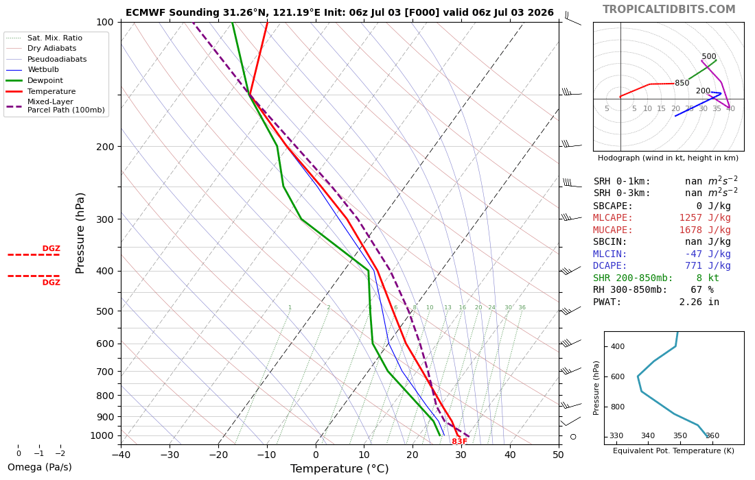
We got some severe thunderstorm in Shanghai last Friday, warnings were issued for the downtown area in the morning, but no rain at all in Lin’gang. Another round of warnings were issued in the afternoon right before everyone are ready to leave the work. Got some nice shower on my way back to get my car.
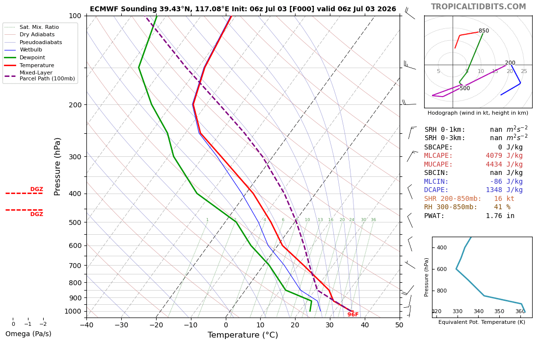
Meanwhile in the north, Beijing also had severe weather. Some people recorded baseball size hail.